Soubor:Deception pass bridge.jpg
Z Multimediaexpo.cz
(Rozdíly mezi verzemi)
(Fotografie + Sysop + pochází z Wikimedia Commons, kde má status –) |
(++) |
||
| Řádka 1: | Řádka 1: | ||
| - | Fotografie + | + | Fotografie + Description: Deception Pass Bridge, Spanning Deception Pass at State Route 20, Anacortes vicinity, Skagit County, WA. Looking West from water level. |
| + | * Date: 1993 | ||
| + | * Source: Historic American Engineering Record, Library of Congress HAER WASH,29-ANAC.V,2-8 | ||
| + | * Author: Jet Lowe (1947–) | ||
| + | * Object location: 48° 24′ 31″ N, 122° 38′ 37″ W | ||
| + | |||
| + | + pochází z Wikimedia Commons, kde má status – This image or media file contains material based on a work of a National Park Service employee, created as part of that person's official duties. As a work of the U.S. federal government, such work is in the public domain in the United States. | ||
| + | |||
| + | [[Kategorie:PD United States]] | ||
Aktuální verze z 3. 7. 2020, 08:28
Fotografie + Description: Deception Pass Bridge, Spanning Deception Pass at State Route 20, Anacortes vicinity, Skagit County, WA. Looking West from water level.
- Date: 1993
- Source: Historic American Engineering Record, Library of Congress HAER WASH,29-ANAC.V,2-8
- Author: Jet Lowe (1947–)
- Object location: 48° 24′ 31″ N, 122° 38′ 37″ W
+ pochází z Wikimedia Commons, kde má status – This image or media file contains material based on a work of a National Park Service employee, created as part of that person's official duties. As a work of the U.S. federal government, such work is in the public domain in the United States.
Historie souboru
Kliknutím na datum a čas se zobrazí tehdejší verze souboru.
| Datum a čas | Náhled | Rozměry | Uživatel | Komentář | |
|---|---|---|---|---|---|
| současná | 20. 8. 2013, 16:30 | 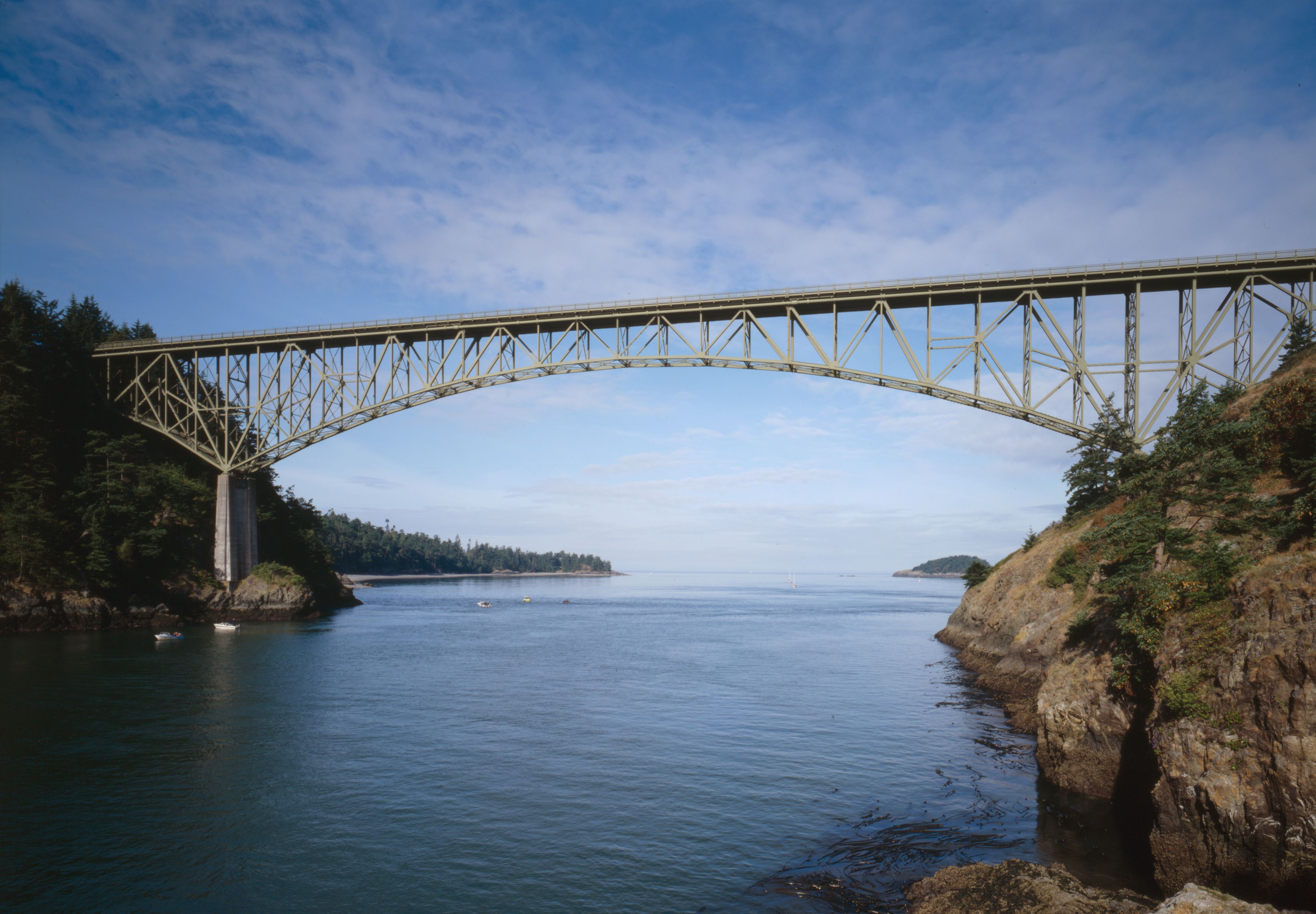 | 4 564×3 169 (1,22 MB) | Sysop (diskuse | příspěvky) | (Fotografie + Sysop + pochází z Wikimedia Commons, kde má status – ) |
- Editovat tento soubor v externím programu (Více informací najdete v nápovědě pro nastavení.)
Odkazy na soubor
Na soubor odkazuje tato stránka:


