V pondělí 16. září 2024 začala naše další
nová soutěž o nejlepší webovou stránku !!
Proto neváhejte a začněte rychle soutěžit o lákavé ceny !!
nová soutěž o nejlepší webovou stránku !!
Proto neváhejte a začněte rychle soutěžit o lákavé ceny !!
Soubor:Carteroute36.jpg
Z Multimediaexpo.cz
(Rozdíly mezi verzemi)
(Mapa + + pochází z Wikimedia Commons, kde má status – Kategorie:CC fotografie Kategorie:Maps of France) |
(Doplnění) |
||
| Řádka 1: | Řádka 1: | ||
| - | Mapa + | + | Mapa + Description: Carte du département Indre |
| + | * Date: | ||
| + | * Source: Cette carte est généreusement fournie par l'IAAT (Institut atlantique d'aménagement du territoire). | ||
| + | * Author: IAAT | ||
| - | + pochází z Wikimedia Commons, kde má status – | + | + pochází z Wikimedia Commons, kde má status – GNU Free Documentation License, Version 1.2 or any later version published by the Free Software Foundation; with no Invariant Sections, no Front-Cover Texts, and no Back-Cover Texts. |
| - | [[Kategorie: | + | [[Kategorie:GNU fotografie]] |
[[Kategorie:Maps of France]] | [[Kategorie:Maps of France]] | ||
Aktuální verze z 24. 11. 2016, 10:57
Mapa + Description: Carte du département Indre
- Date:
- Source: Cette carte est généreusement fournie par l'IAAT (Institut atlantique d'aménagement du territoire).
- Author: IAAT
+ pochází z Wikimedia Commons, kde má status – GNU Free Documentation License, Version 1.2 or any later version published by the Free Software Foundation; with no Invariant Sections, no Front-Cover Texts, and no Back-Cover Texts.
Historie souboru
Kliknutím na datum a čas se zobrazí tehdejší verze souboru.
| Datum a čas | Náhled | Rozměry | Uživatel | Komentář | |
|---|---|---|---|---|---|
| současná | 24. 11. 2016, 10:03 | 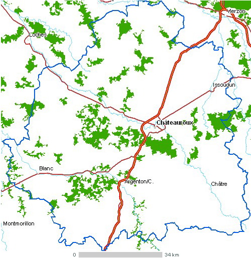 | 501×515 (135 kB) | Sysop (diskuse | příspěvky) | (Mapa + + pochází z Wikimedia Commons, kde má status – Kategorie:CC fotografie Kategorie:Maps of France) |
- Editovat tento soubor v externím programu (Více informací najdete v nápovědě pro nastavení.)
Odkazy na soubor
Na soubor odkazuje tato stránka:


