Soubor:Saronic Gulf map-fr.png
Z Multimediaexpo.cz
(Rozdíly mezi verzemi)
(Fotografie +) |
(++) |
||
| Řádka 1: | Řádka 1: | ||
| - | + | Mapa + Description: | |
| + | * English: Map in French of the Saronic Gulf in Greece. | ||
| + | * Français : Carte en français du golfe Saronique en Grèce. | ||
| + | * Date: September 2007 | ||
| + | * Source: | ||
| + | ** Background map : NASA Shuttle Radar Topography Mission (SRTM3 v.2) data (public domain) edited with 3DEM from Visualization Software LLC ; UTM projection, WGS84 datum ; | ||
| + | ** Compass rose: Image:Brújula.svg (modified) created by Serg!o under GFDL | ||
| + | * Author: Eric Gaba (Sting - fr:Sting) | ||
| + | |||
| + | {{Cc-by-sa-3.0,2.5,2.0,1.0}} | ||
| + | [[Kategorie:Maps of Greece]] | ||
Aktuální verze z 4. 7. 2021, 11:32
Mapa + Description:
- English: Map in French of the Saronic Gulf in Greece.
- Français : Carte en français du golfe Saronique en Grèce.
- Date: September 2007
- Source:
- Background map : NASA Shuttle Radar Topography Mission (SRTM3 v.2) data (public domain) edited with 3DEM from Visualization Software LLC ; UTM projection, WGS84 datum ;
- Compass rose: Image:Brújula.svg (modified) created by Serg!o under GFDL
- Author: Eric Gaba (Sting - fr:Sting)
+ pochází z Wikimedia Commons, kde má status – This file is licensed under the Creative Commons Attribution-Share Alike 3.0 Unported, 2.5 Generic, 2.0 Generic and 1.0 Generic license.
Historie souboru
Kliknutím na datum a čas se zobrazí tehdejší verze souboru.
| Datum a čas | Náhled | Rozměry | Uživatel | Komentář | |
|---|---|---|---|---|---|
| současná | 4. 7. 2021, 11:14 | 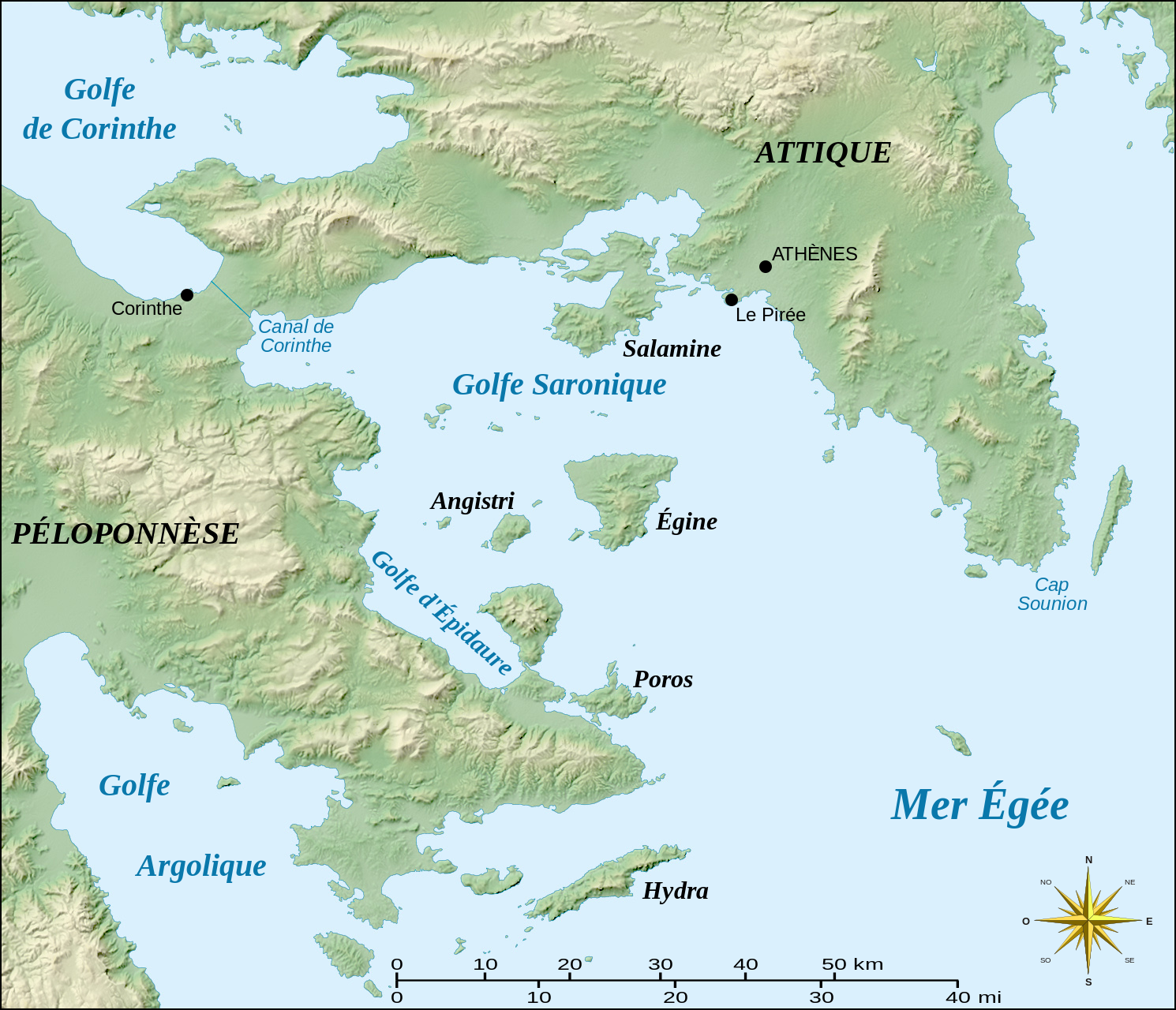 | 1 490×1 280 (1,56 MB) | Sysop (diskuse | příspěvky) | (Fotografie + ) |
- Editovat tento soubor v externím programu (Více informací najdete v nápovědě pro nastavení.)
Odkazy na soubor
Na soubor odkazuje tato stránka:


