Soubor:Map of Pennsylvania highlighting Northampton County.png
Z Multimediaexpo.cz
Velikost tohoto náhledu je: 800 × 460 pixelů
Obrázek ve vyšším rozlišení (rozměr: 1 980 × 1 139 pixelů, velikost souboru: 309 kB, MIME typ: image/png)
Fotografie + Description:
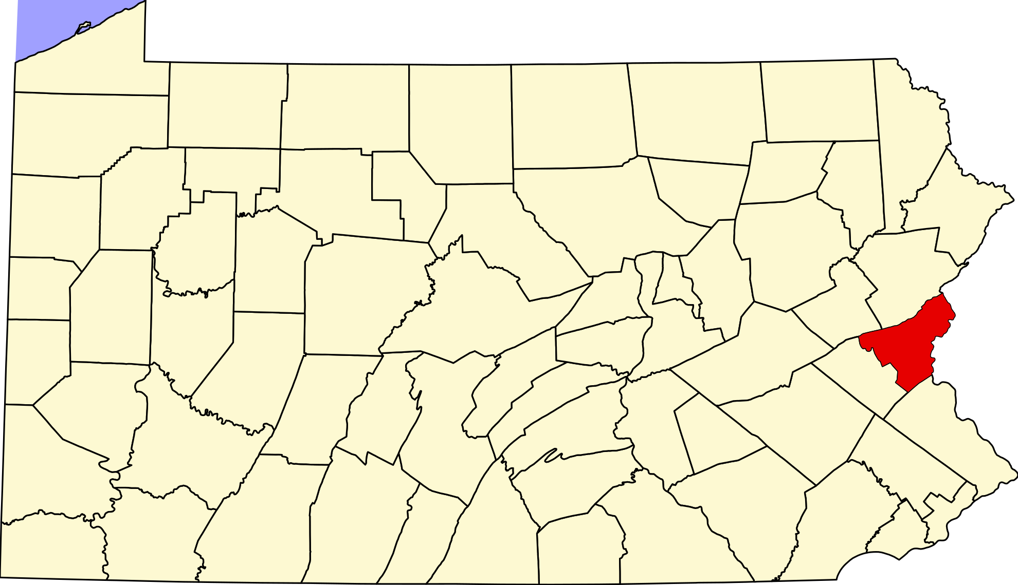
- English: This is a locator map showing Northampton County in Pennsylvania. For more information, see Commons:United States county locator maps.
- Date: 12 February 2006
- Source: Own work
- English: The maps use data from nationalatlas.gov, specifically countyp020.tar.gz on the Raw Data Download page. The maps also use state outline data from statesp020.tar.gz. The Florida maps use hydrogm020.tar.gz to display Lake Okeechobee.
- Author: David Benbennick
+ pochází z Wikimedia Commons, kde má status – I, the copyright holder of this work, release this work into the public domain. This applies worldwide.
Historie souboru
Kliknutím na datum a čas se zobrazí tehdejší verze souboru.
| Datum a čas | Náhled | Rozměry | Uživatel | Komentář | |
|---|---|---|---|---|---|
| současná | 15. 7. 2024, 09:48 | | 1 980×1 139 (309 kB) | Sysop (diskuse | příspěvky) | (Fotografie + ) |
- Editovat tento soubor v externím programu (Více informací najdete v nápovědě pro nastavení.)
Odkazy na soubor
Na soubor odkazuje tato stránka:


